
This is a trail blaze for the Pacific Crest Trail, a long distance hiking trail that begins (typically) at the California and Mexican border and ends in British Columbia. I am taken with this trail and was before we even moved here. Lucky us that it is a short drive from Eugene. This weekend we were finally able to hike on it for a few miles. We chose a stretch through the Three Sisters wilderness area in Deschutes National Forest. First we drove through the lava fields on Highway 242, stopping at the Dee Wright Observatory. Here is a picture of the observatory, built from the surrounding lava rock:

And here is a picture inside the observatory:

Here is our view from the top of the Observatory. That is North Sister mountain with a storm cloud blowing over it:


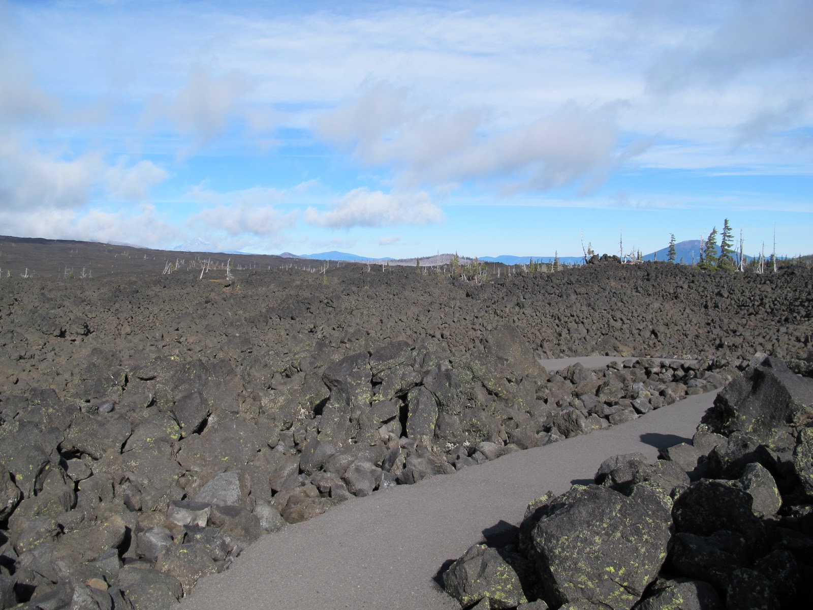
More lava rock around the Observatory:
After our visit to the observatory we found our trail head for North and South Matthieu lakes and began our (chilly) hike on the Pacific Crest Trail. Highway 242, also known as the McKenzie Pass, is only open mid July through October and last year at this time it was already closed because of the snow. So, we were eager to explore while we had the chance.


Nearby Mt. Jefferson:

Mt. Jefferson in the foreground and Mt. Hood to the right:

You can see North Matthieu lake in this picture, one of the two lakes we hiked by.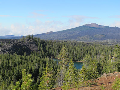
While much of our hiking was down in the forest we did get some views of the nearby Sisters. The storm cloud over the North Sister changed a lot during our hike, which was neat to witness.


More lava fields. Apparently, the large lava rocks were lava bombs, meaning they were blown out of the cinder cones in their molten states but solidified during flight.

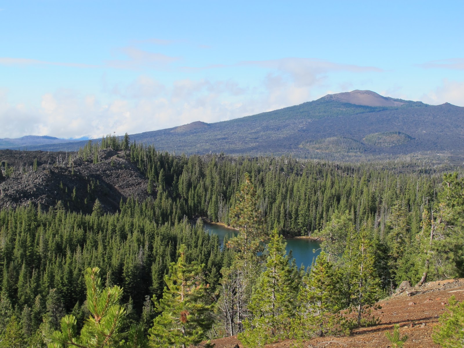
South Matthieu lake. It was cold. We did not swim.


Look at that good-looking couple!

And here is North Matthieu lake.


I threw a big rock into the water.

And lastly, another picture of North and Middle Sister.

Six miles of the PCT done! Only 2657 more miles to go!


